About
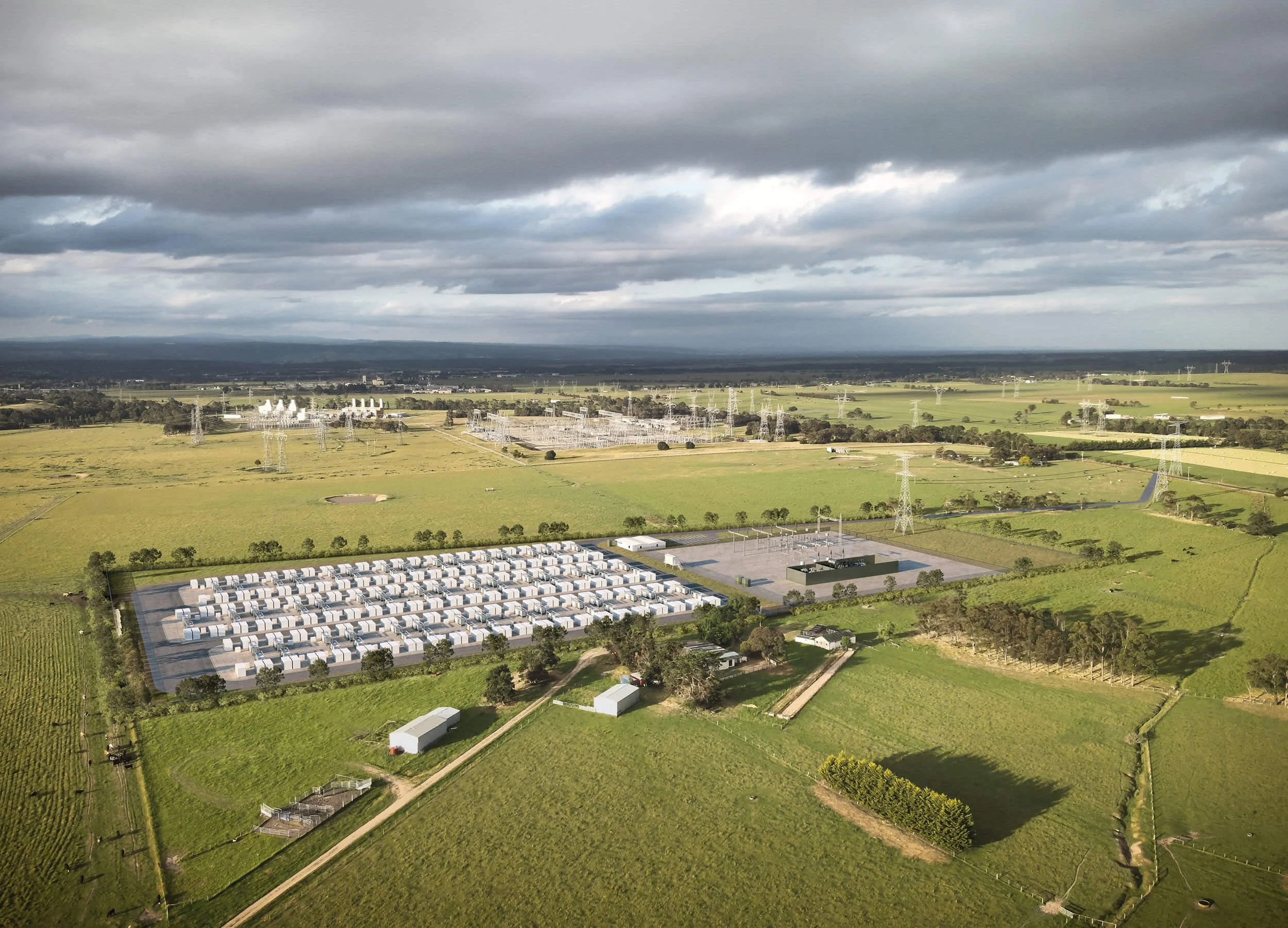
Modata is a specialist visualisation practice producing survey-verified imagery for visual impact assessment, planning and stakeholder engagement across Australia.
Our approach favours rigorous, repeatable processes over artistic impressions. We produce imagery that communicates clearly, accurately represents what will be seen, and can stand up to scrutiny through planning and approvals.
Our Niche
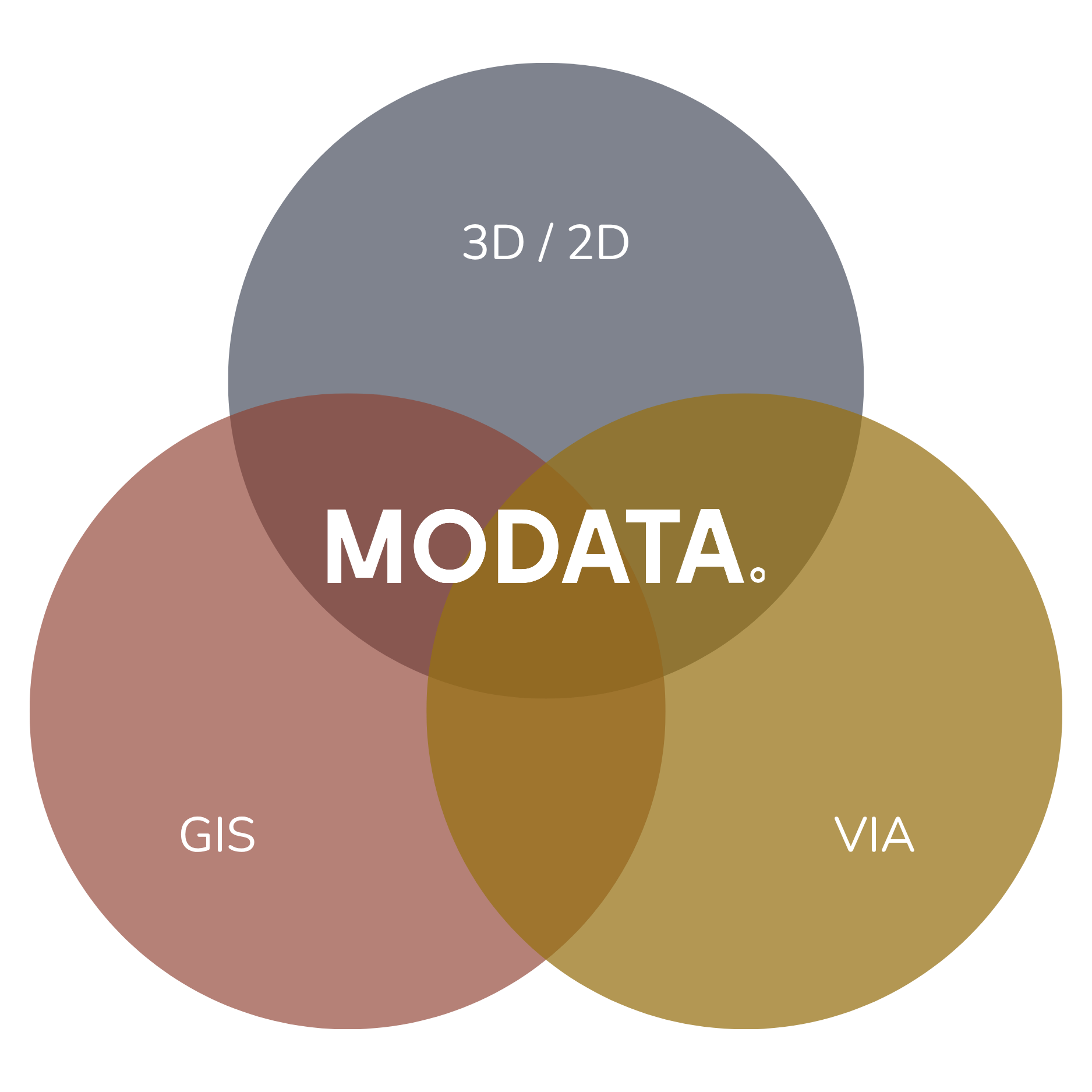
Expertise at the intersection of Geographic Information Systems (GIS), Visual Impact Assessment, 3D image creation and 2D compositing.
These distinct disciplines are integrated by employing rigorous methodology, exacting processes, cutting-edge softwares and sophisticated pipeline management - refined over 20 years of professional application.
Our Team
Supported by a trusted network across Australia
We keep the studio lean by design, and bring in the specialists each project needs, from a network we've worked with across dozens of projects nationwide.
Photographers
Drone operators and aerial photographers
Helicopter and fixed-wing pilots
Aerial mapping and LiDAR specialists
Registered surveyors