


When accuracy and provenance are paramount.
Our visual representations play a crucial role in VIA, planning applications, planning appeals and as evidence at public inquiries. Our methodology meets NSW DPHI and LEC requirements, has been tested through VCAT proceedings and has withstood expert witness cross-examination.
We enjoy strong partnerships with some of Australia's preeminent visual amenity professionals, and have been consulted by both the AILA and NSW DPHI in establishing best practice for verified image creation for VIA.
Projects examples:
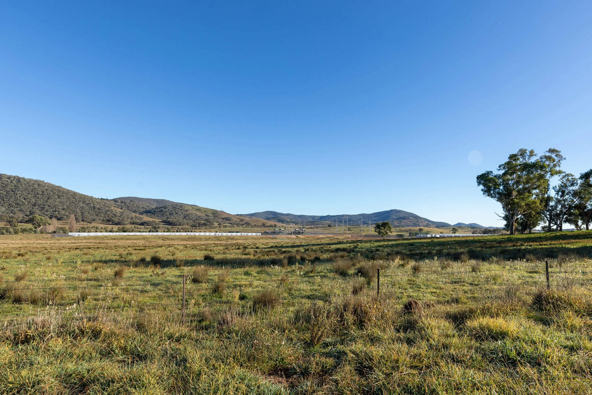
SolarUpper Calliope Solar Farm, QLD
WindKentbruck Green Power Hub, VIC
Transmission HumeLink Transgrid, NSW
Data CentreArtarmon Data Centre, NSW
Urban Kogarah & Alexandria, NSW
TransportInland Rail, NSW
Insights
-
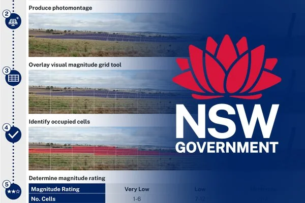
Modata Magnitude Grid Tool
Streamlining NSW DPHI magnitude grid assessment
-
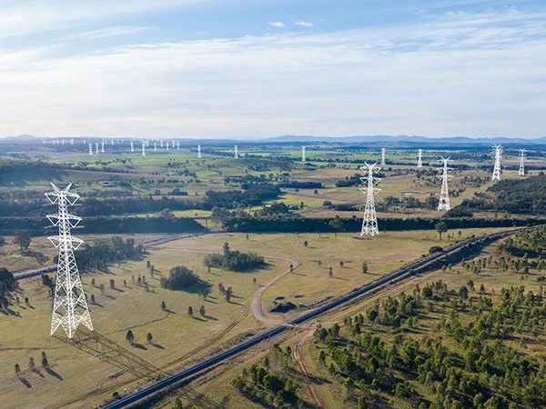
Transmission at Scale
240 locations across more than 1,000 km of transmission line
-
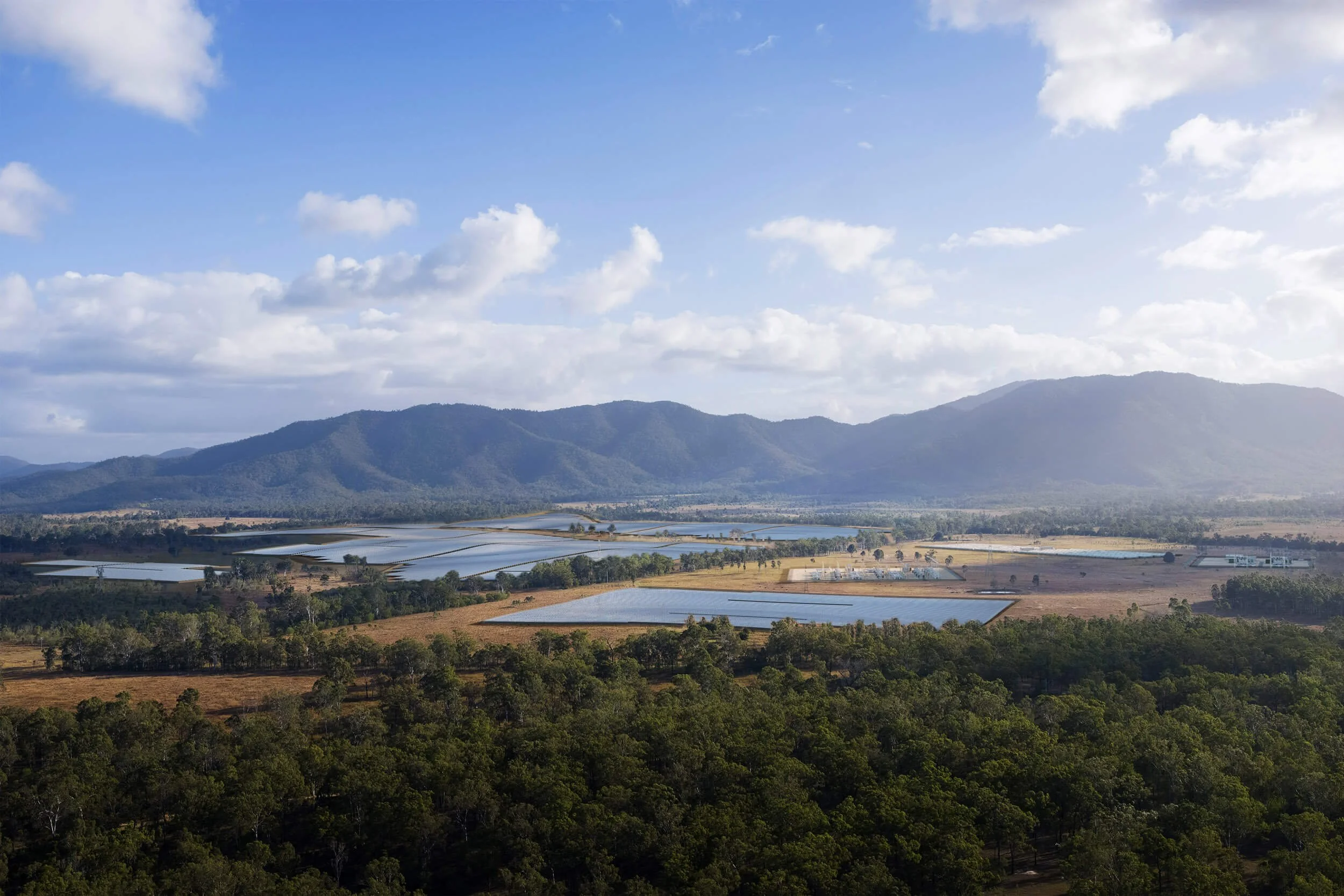
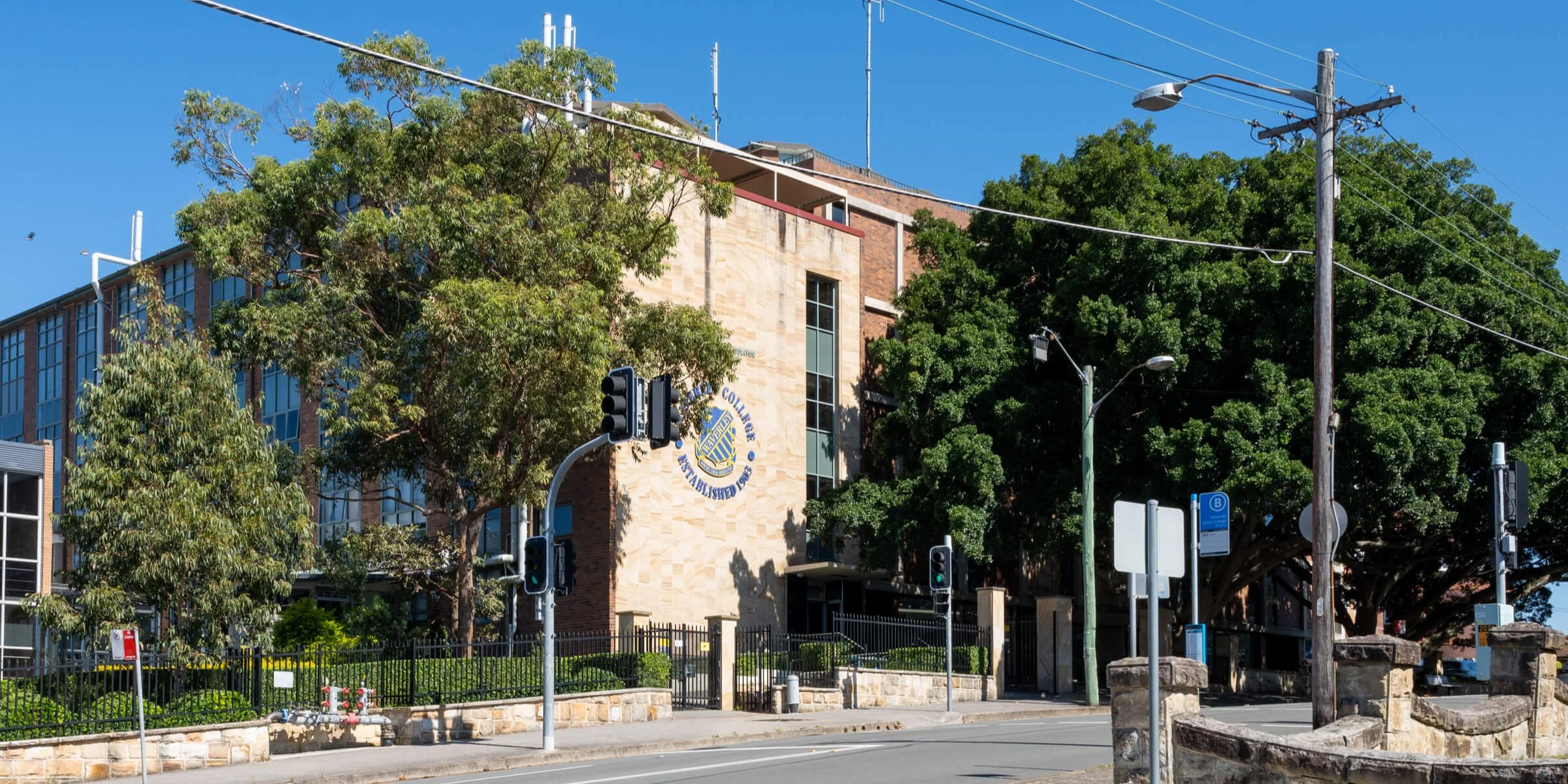
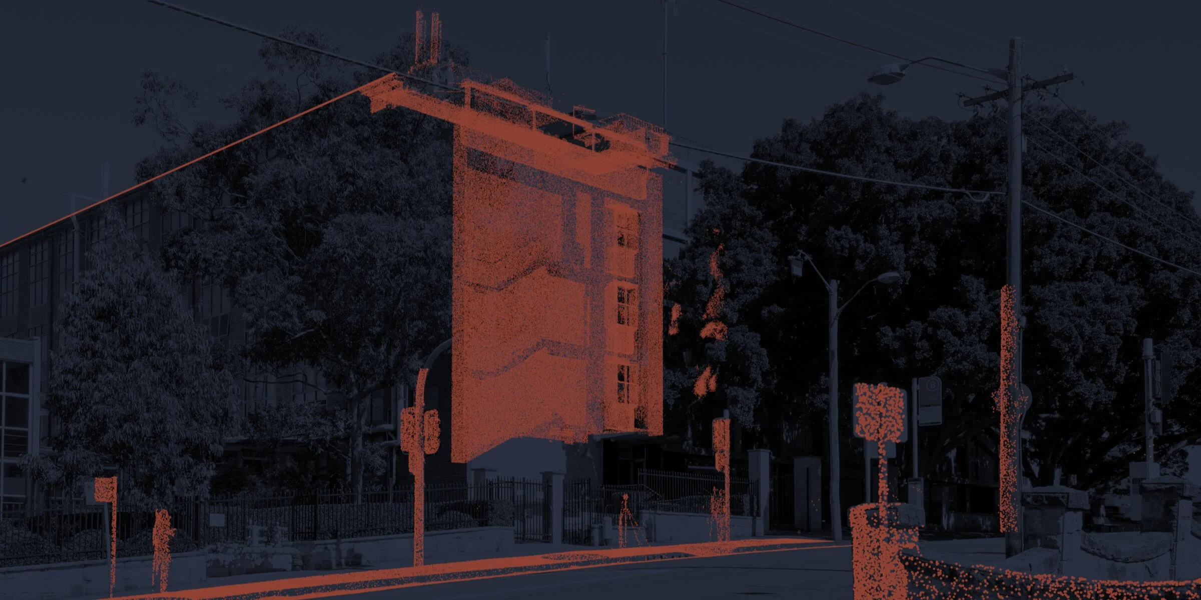
Making the Image
From raw data to final composite
-

Photomontage vs 3D Imagery
How to choose the right tool for your project.
-
“We were extremely impressed with Modata’s work, they are some of the very best BESS renders we have seen so far. Peter was professional and easy to work with, keeping us involved throughout the process and working with us to achieve the best outcome. The internal consensus is that Modata’s work is first class and has set a benchmark for other projects!”
— Tanzia Matotek - Akaysha Energy
-
“Modata have become our first choice for image creation for VIA. The team are always responsive throughout the project, the quality of work is consistently high and delivered in a efficient and timely manner.”
— Elina Moreau Braunstein - GM Urban Design
-
“The MODATA team are proactive and professional. They went above and beyond to meet our tight deadline and their efforts got our application over the line with minimal fuss.”
— Thomas Ghossein - CBUS Property