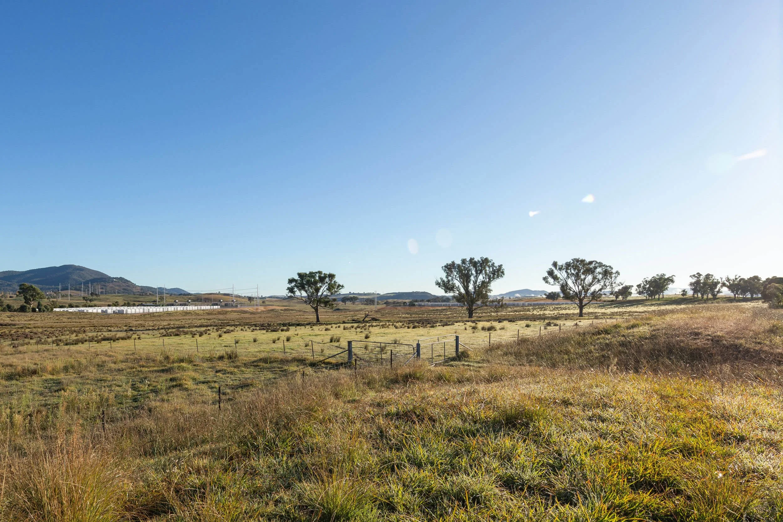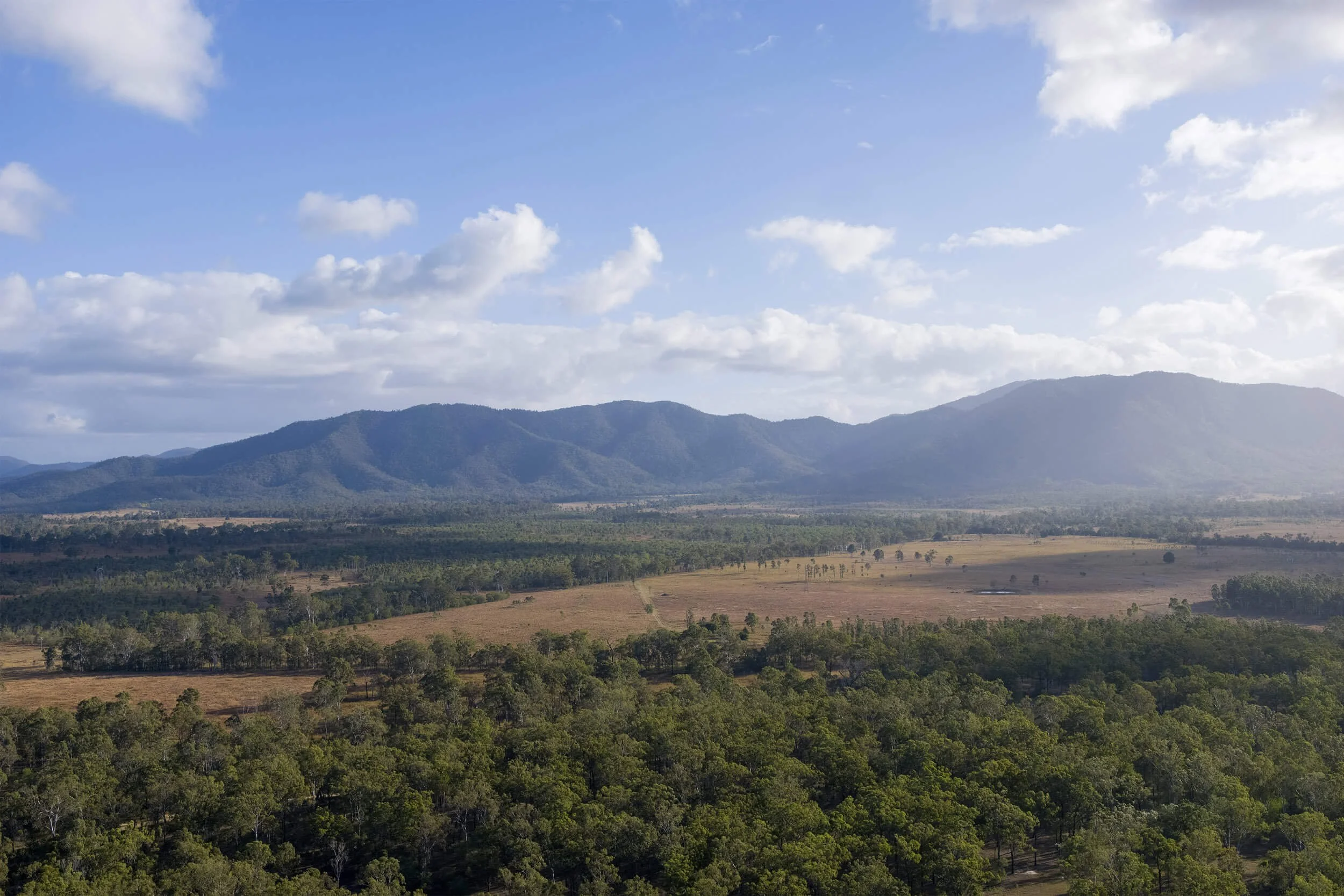
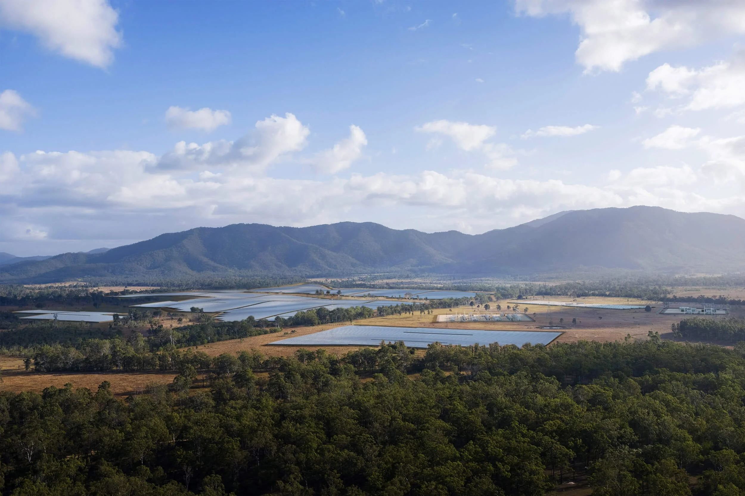


Present your projects with absolute confidence.
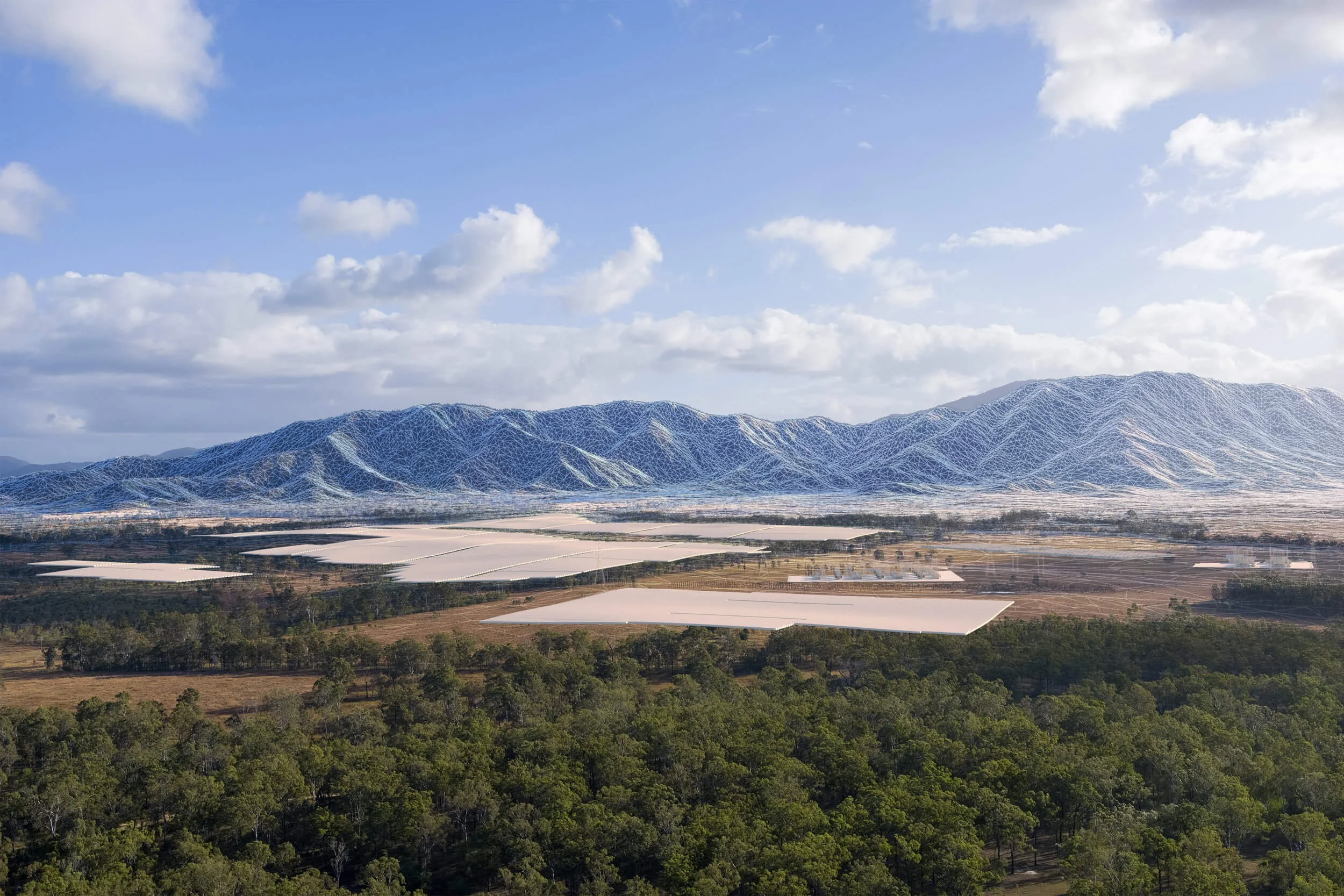
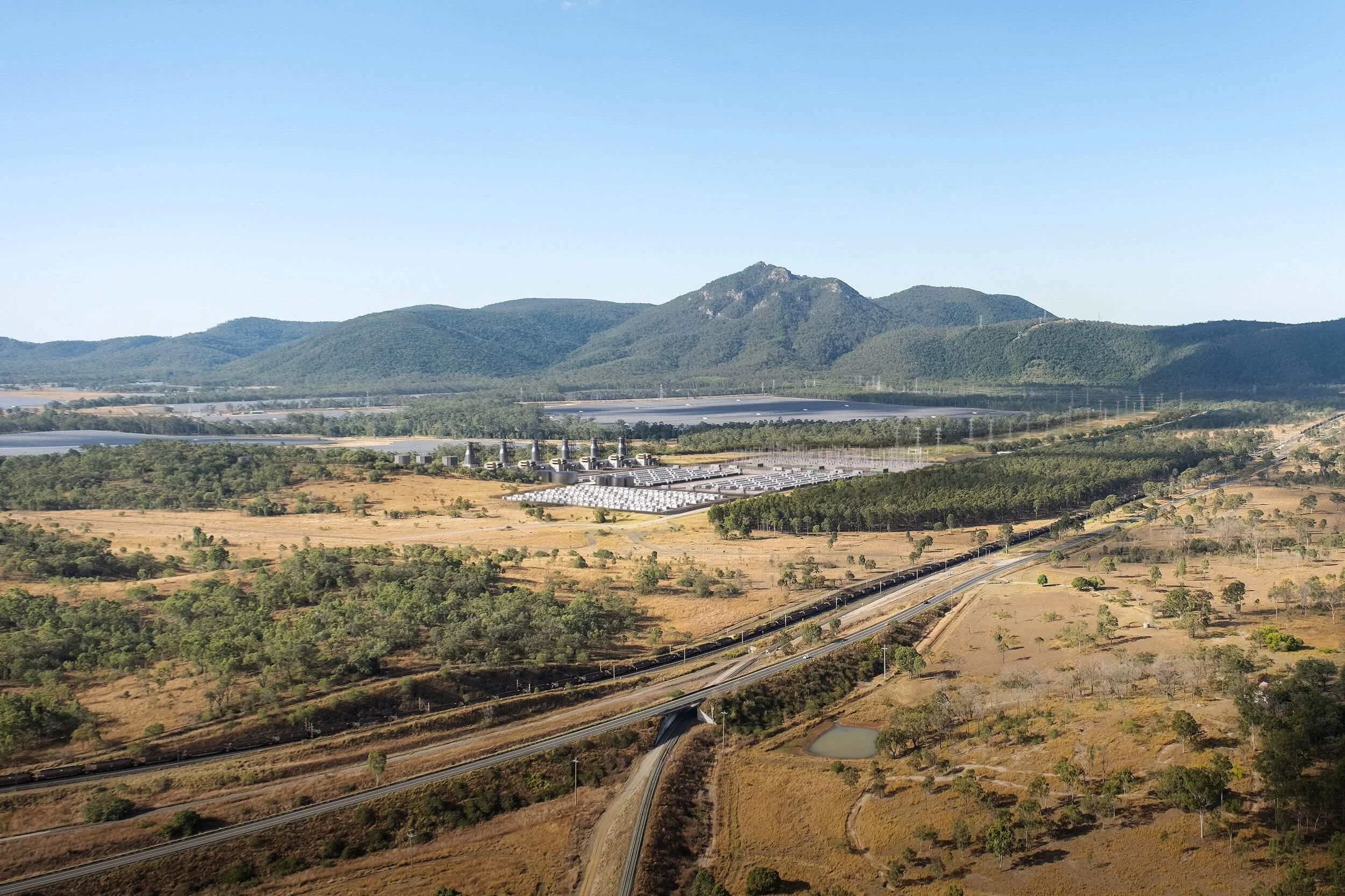
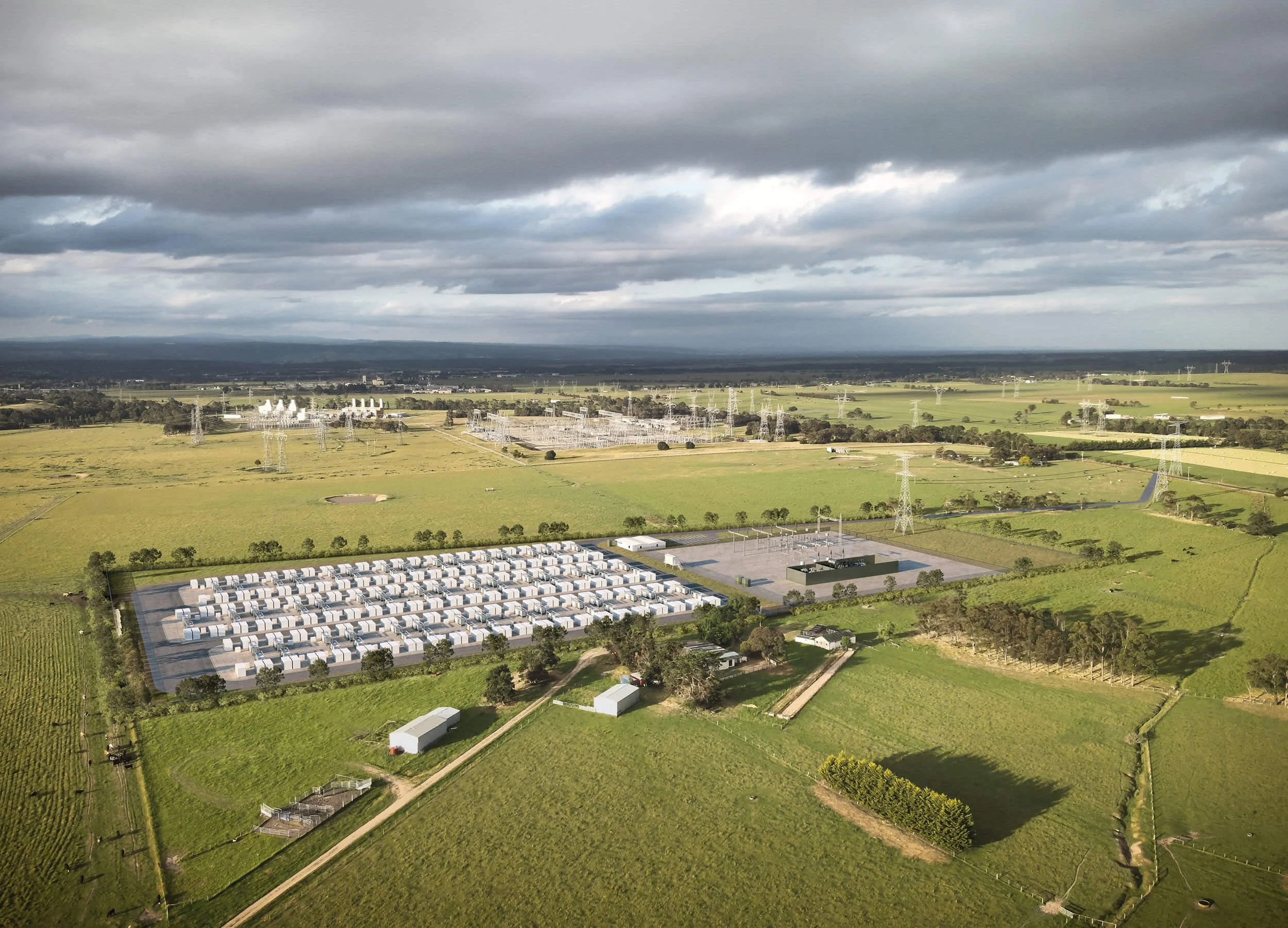
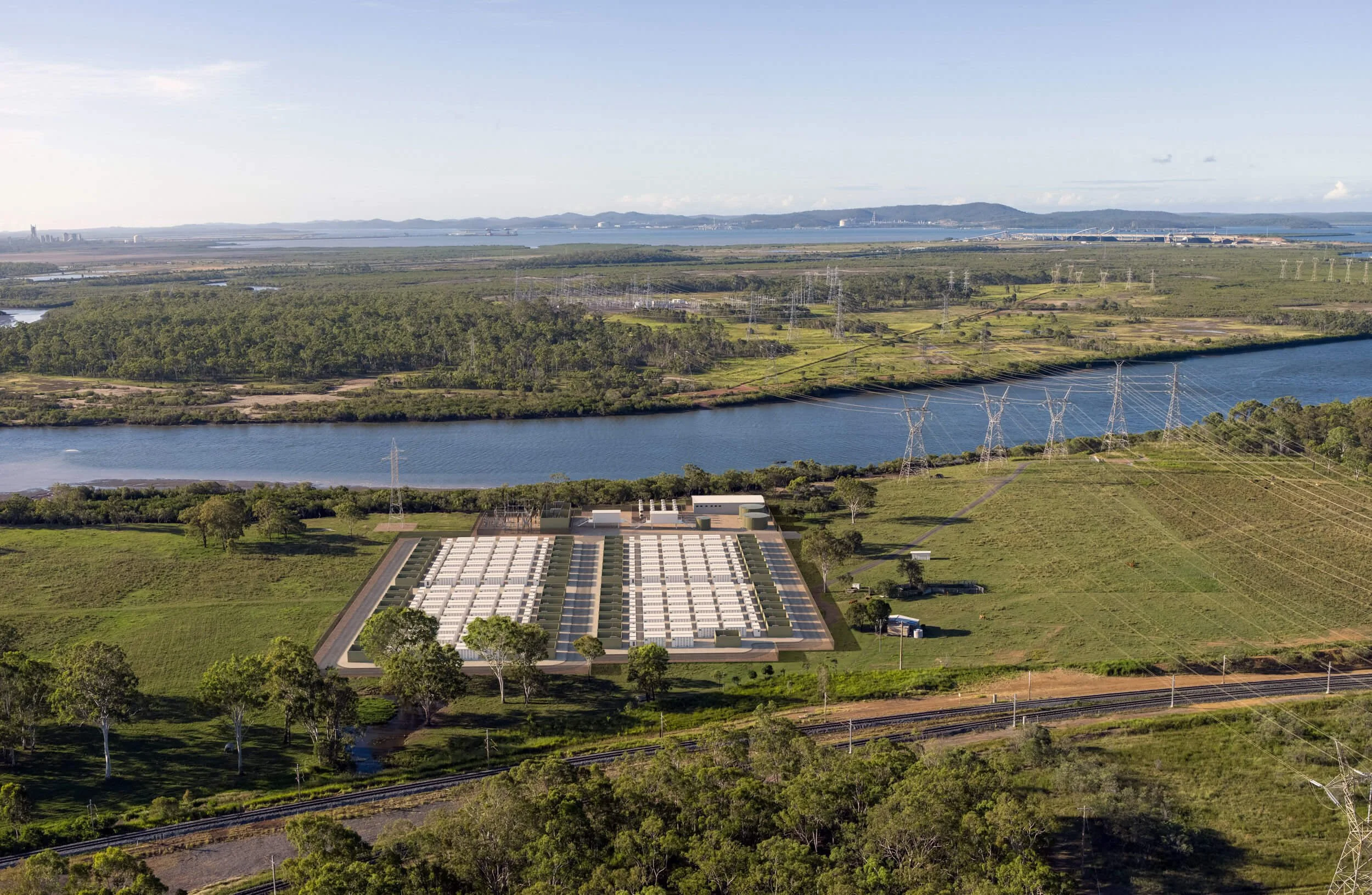
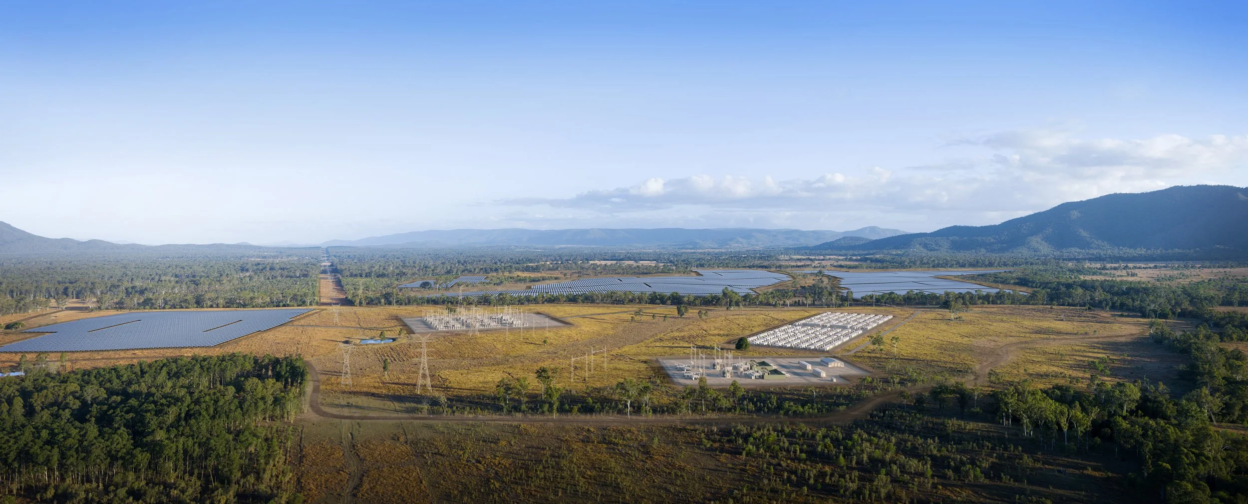
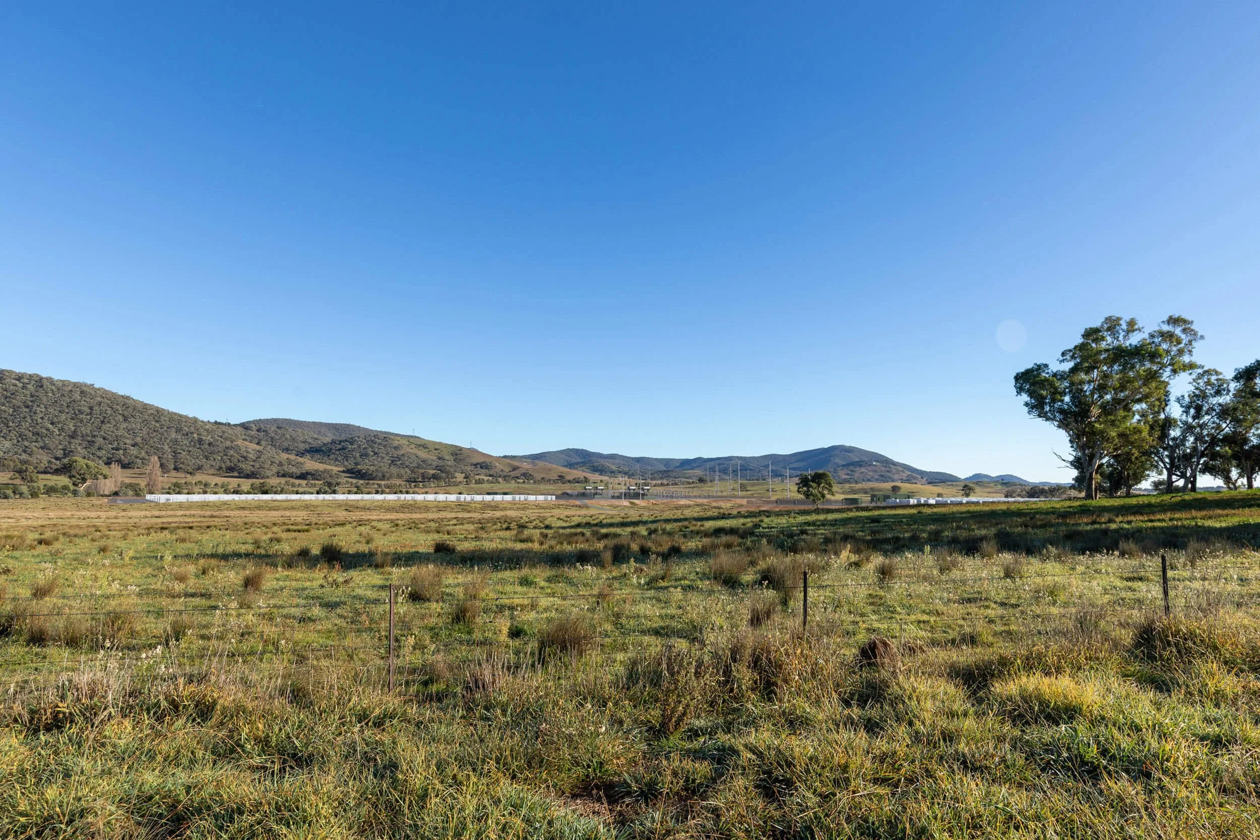
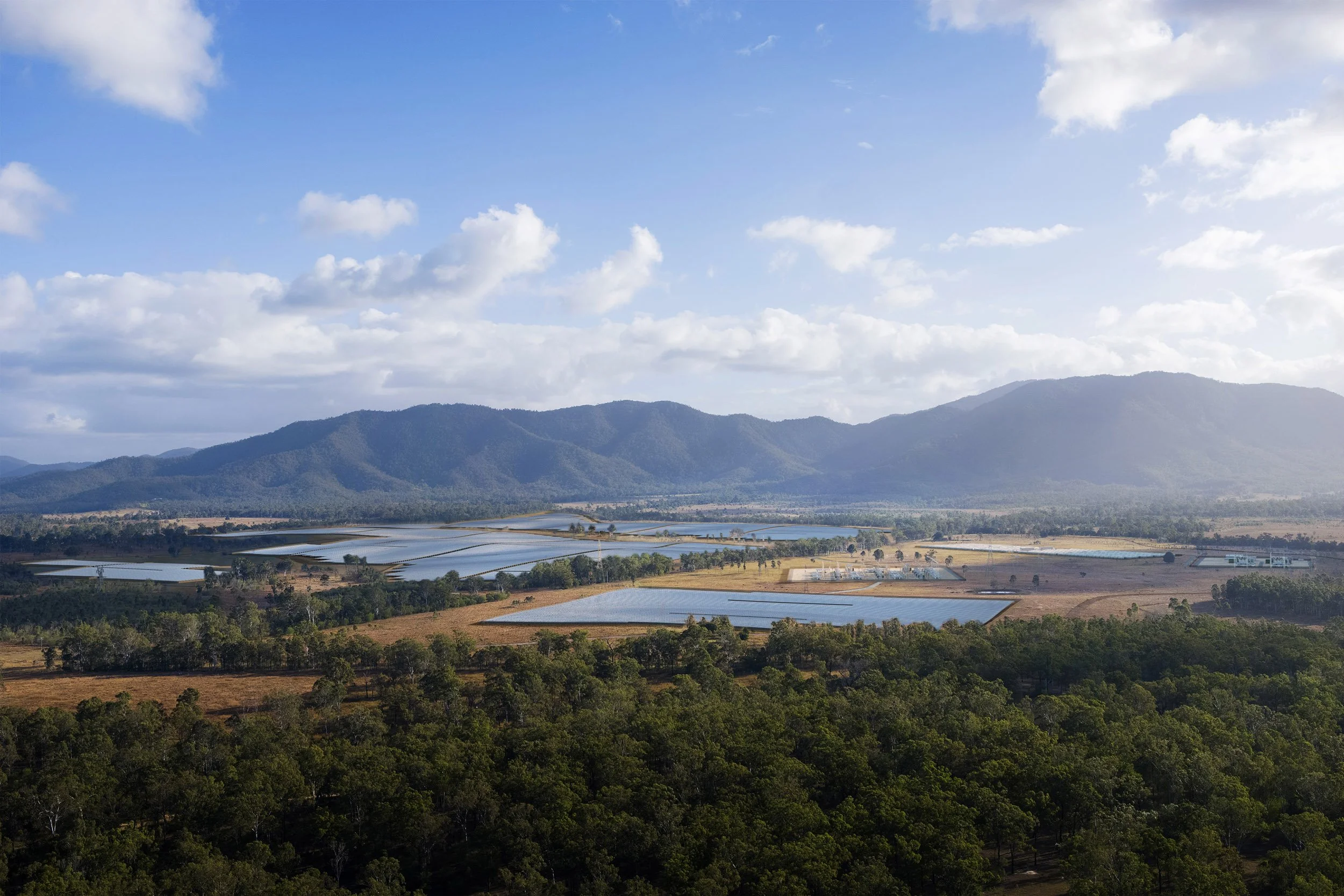
More than 'artist's impressions' — our imagery is grounded in real project and spatial data, with accurate geometry, true-to-spec components, matched site conditions and physically based materials and lighting.
Clear, credible imagery for informed communication and engagement.
Click images to enlarge.



Scope of Work
Our role in a typical project covers:
Initial consultation and view selection
Sourcing and utilising publicy available geospatial data sets
Site visit and data capture - ground level & aerial photography, site survey and aerial geospatial mapping
Camera alignment
3D scene creation & image generation
2D compositing
Incorporating design feedback
Delivery of verifiably accurate visual representations in compliance with state/project guidelines.
Read more:
Realism vs Reality Why AI makes verified visualisation more important, not less
Making the Image From raw data to final composite
360° Interactive Tours Explore the project from every angle
Level of Detail Choosing detail to suit the audience and budget
-
“The MODATA team are proactive and professional. They went above and beyond to meet our tight deadline and their efforts got our application over the line with minimal fuss.”
— Thomas Ghossein - CBUS Property
-
“Being able to incorporate design changes to almost 30 images in a day enabled us to respond to any appeals promptly and confidentially.”
— Richard Huynh - Time & Place
-
“Peter and his team were able to turn the images around quickly and accurately with a well documented and verifiable process.”
— Richard Lamb - RL & Associates