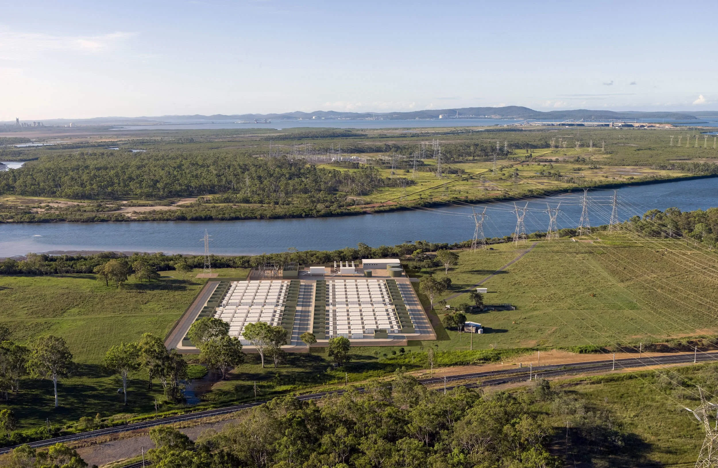
Modata is a specialist visualisation practice producing survey-verified imagery for visual impact assessment, planning and stakeholder engagement across Australia.
Our approach favours rigorous, repeatable processes over artistic impressions. We produce imagery that communicates clearly, accurately represents what will be seen, and can stand up to scrutiny through planning and approvals.
Visualising since 2000
80+ infrastructure + energy projects
Expert evidence given
Our track record
Modata is led by Peter Letten, who has worked in visualisation since 2000. In 2010 he launched his own architectural visualisation studio, coordinating large, complex projects across urban renewal and master-planning work, pulling together input from surveyors, architects, landscape architects, developers and other consultants, often against demanding timelines.
Over time, Peter found himself increasingly drawn to the technical side of the work, bringing order to complex datasets, refining processes and removing opportunities for error. Visual impact assessment proved a natural fit, combining visual judgement with GIS, survey data and a level of precision where how an image is made matters as much as how it looks.
In 2020, Peter moved into visual impact assessment full-time, bringing an approach that ultimately shaped Modata's focus on accuracy, consistency and defensibility. His work has been presented as expert evidence in court, where imagery has to stand up to cross-examination as well as review.
That same rigour underpins our communications and engagement work, where imagery has to hold up in front of communities who know the landscape better than anyone.
Our approach
Our team

We keep the studio lean by design, and bring in the specialists each project needs, from a network we've worked with across dozens of projects nationwide.
Photographers
Drone operators and aerial photographers
Helicopter and fixed-wing pilots
Aerial mapping and LiDAR specialists
Registered surveyors
Supported by a trusted network across Australia