
Making the Image
A verified photomontage starts well before the final render. Here’s how a project moves from site photography and spatial data to the finished image.
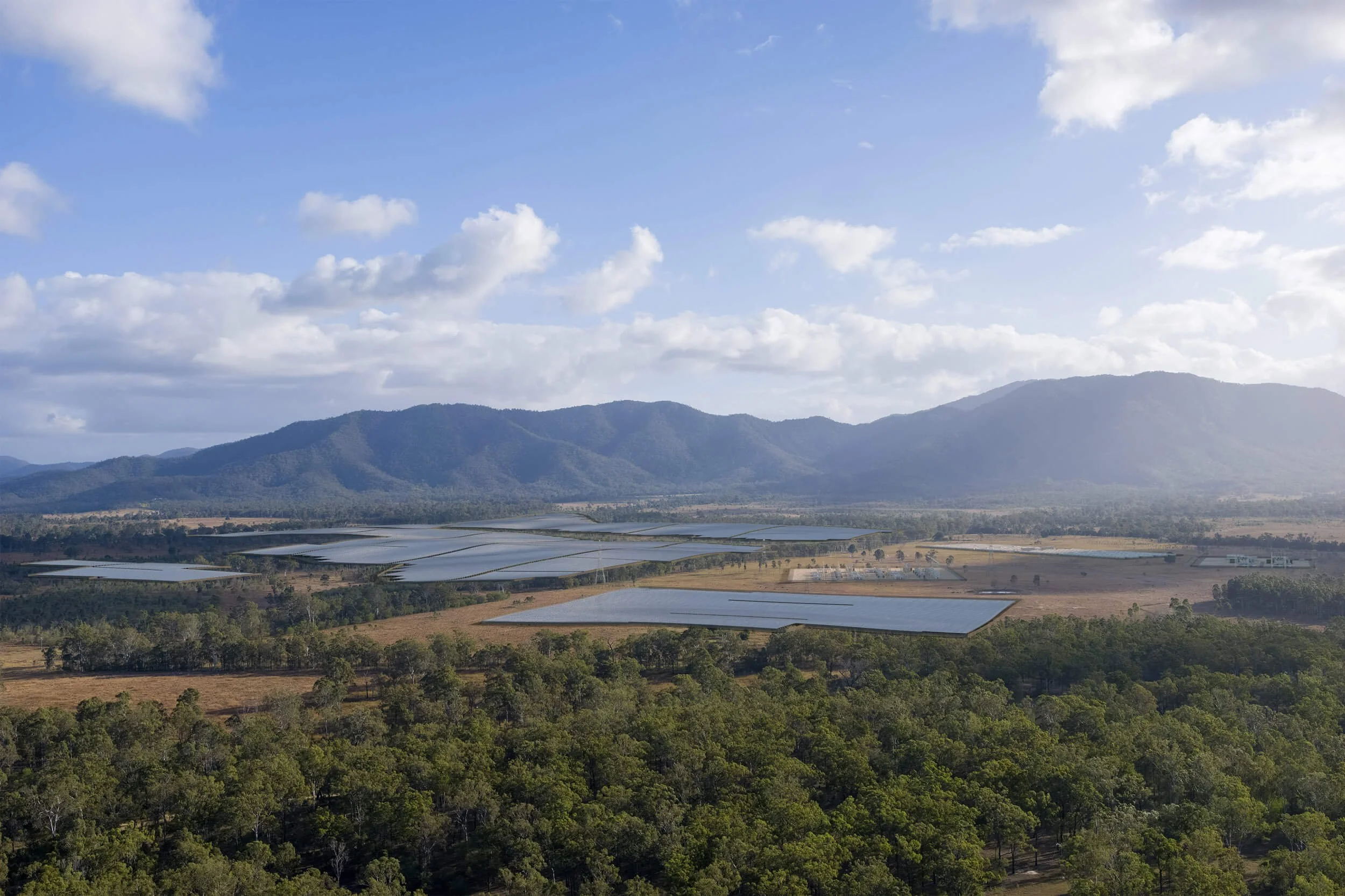
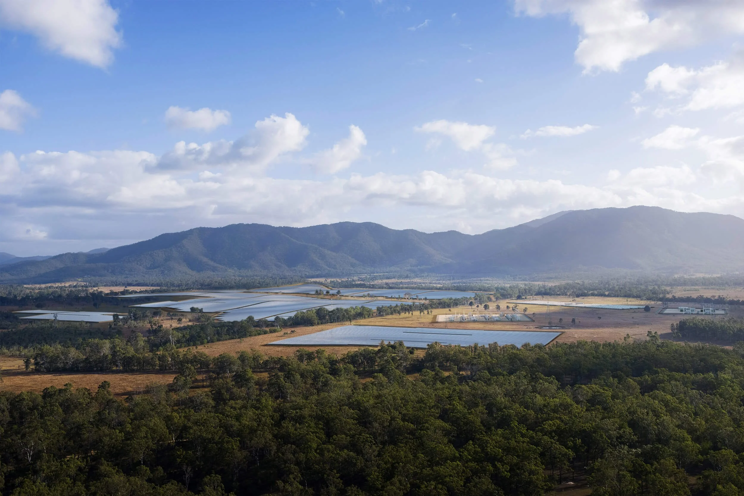
A verified photomontage starts well before the final render. Here’s how a project moves from site photography and spatial data to the finished image.
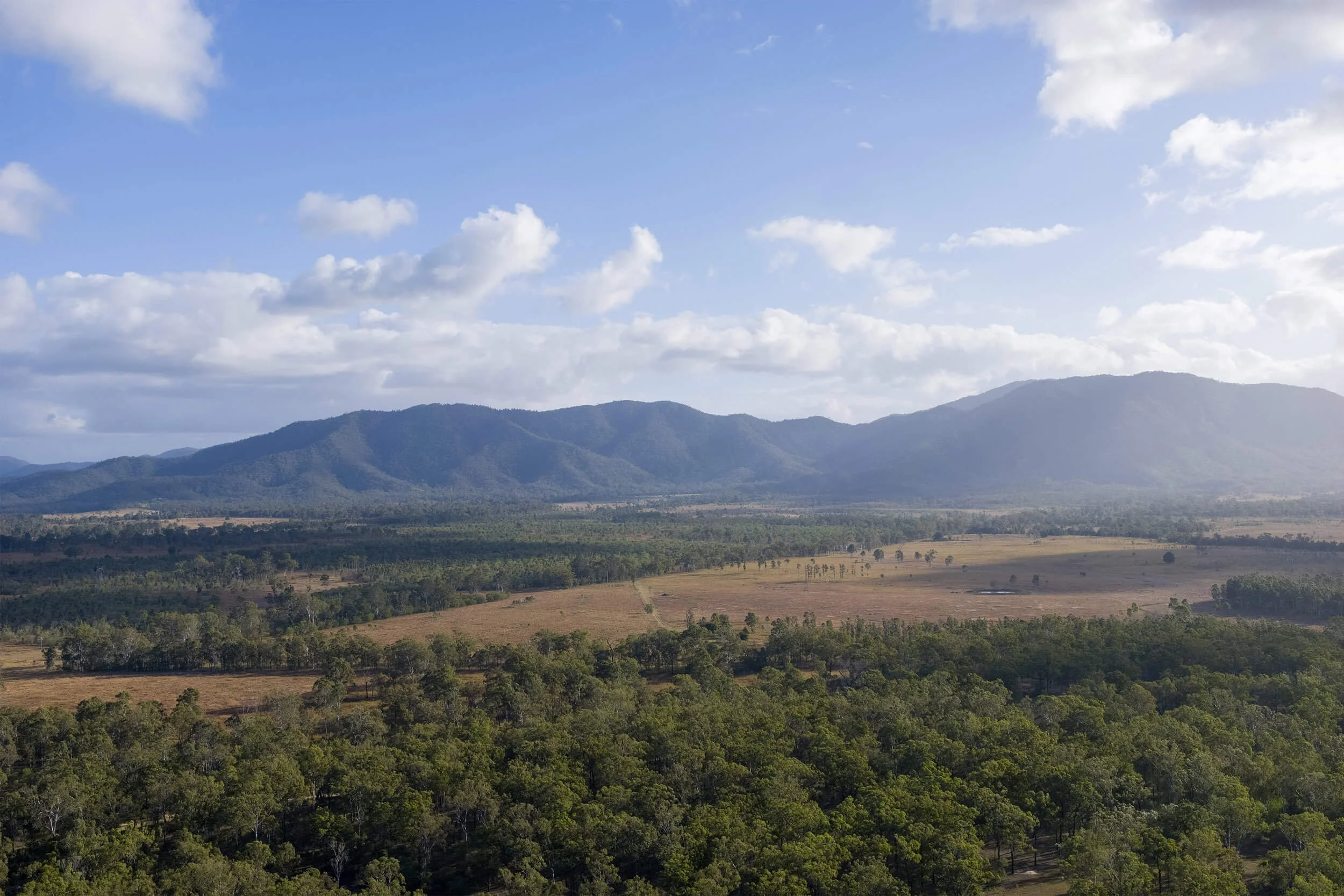
Photography captured from the agreed viewpoint, with the camera position, height and direction recorded.
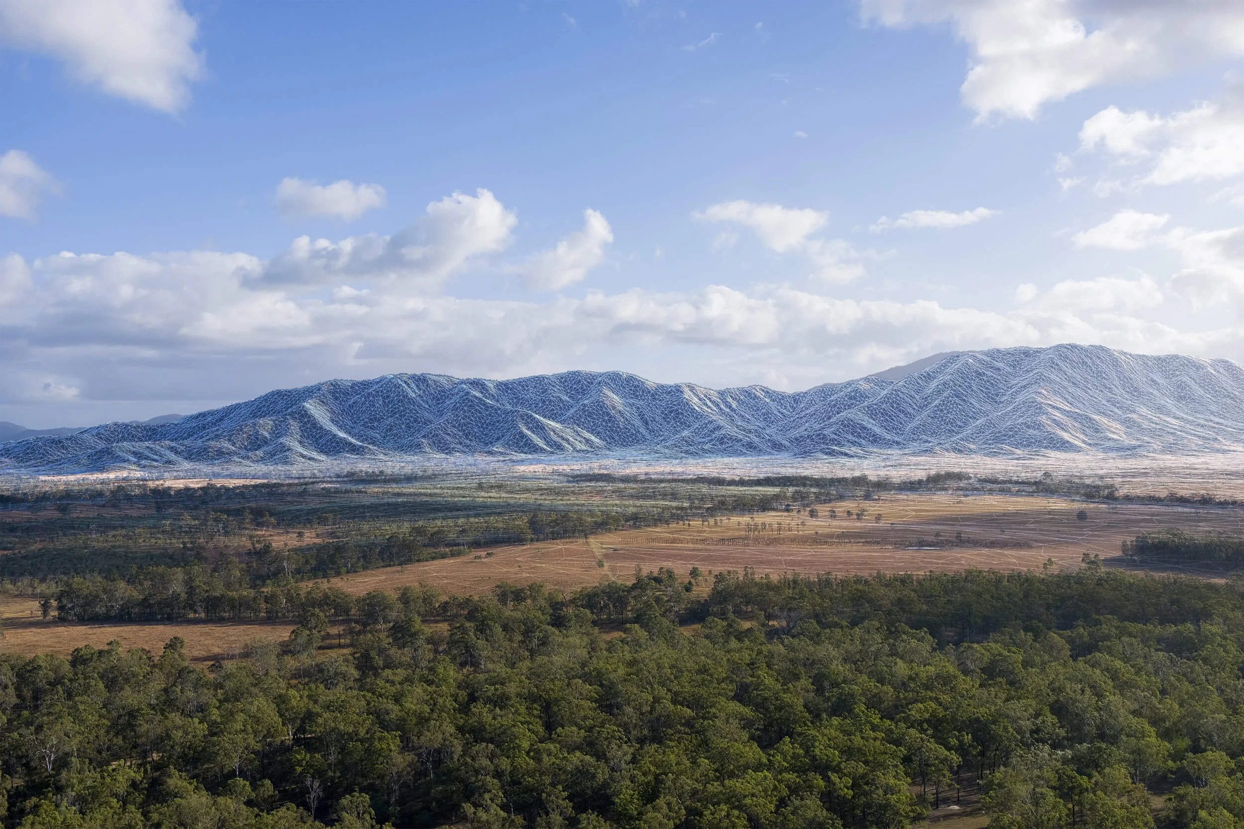
Survey, terrain and point-cloud data are used to reconstruct the site in 3D and align the virtual camera precisely with the photograph.
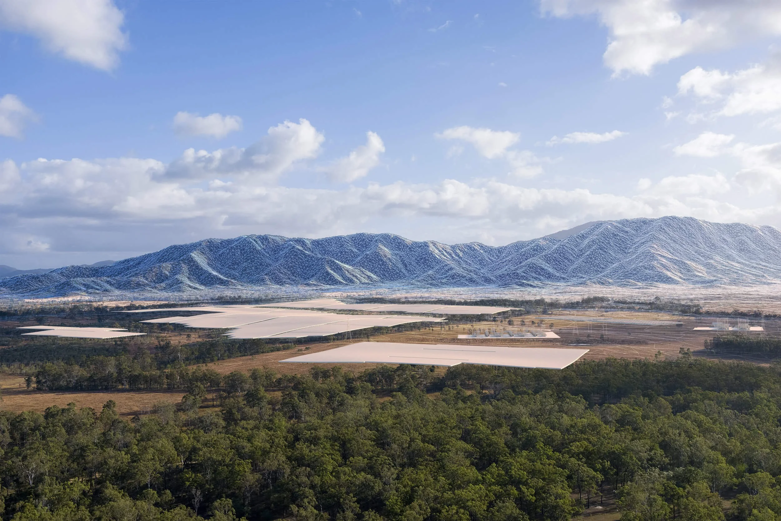
The proposed development is built and positioned within the verified site model at its correct location, scale and elevation. Manufacturer-supplied models are used where available, with bespoke modelling where required, and materials are recreated to accurately represent the proposed assets.
With the geometry and camera locked, the development is rendered to match the perspective, lighting and conditions of the photograph.
The render is composited and graded into the photography, integrating vegetation, screening and atmospheric effects without altering the verified position or scale of the development.