
Realism vs Reality: Why AI makes verified visualisation more important, not less
Photorealism is becoming easy. Accuracy isn't.
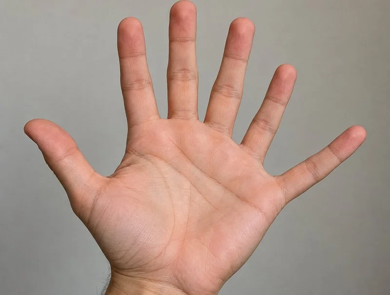
AI's early struggle with hands — six fingers, fused knuckles, impossible joints — became one of the defining images of early generative AI. Those problems have largely improved because hands are a generalisable visual problem: with enough examples, a model can learn what a convincing human hand should look like.
Site accuracy is different. There's no universal site to learn. Every location has its own terrain, structures, roads, boundaries, vegetation and groundcover. No amount of general training data can tell a model exactly what exists at a particular place.
That requires data from the actual site.
AI can now generate an aerial image in seconds — plausible lighting, convincing shadows and a level of polish that once took a skilled artist days. For many applications, that's a genuine leap forward. For visualisation used in planning and community engagement, looking convincing isn't necessarily enough.
The trust problem
The issue isn't that AI-generated imagery looks bad — often it looks excellent. The issue is that it can be wrong in ways only the people who know the site will notice.
Give a generative model an aerial or satellite image and ask it to add detail, and it has to resolve information that simply isn't there. An indistinct structure becomes a shed. A blurry patch becomes vegetation. A boundary becomes a fence. The model fills the gaps with something plausible, based on patterns learned from other places.
For most imagery, that may not matter. For community engagement, it can.
A resident who sees their own street or property represented incorrectly doesn't think close enough. They think:
“If they got my fence wrong, what else did they get wrong?”
The fence itself may have nothing to do with the proposed development. But it's something that person knows to be wrong, and that can make them question everything else in the image that they can't personally verify.
Why this matters more as AI gets better
There's a temptation to think this problem will disappear as generative AI improves. In some ways, the opposite is true.
An obviously artificial render announces its limitations. A highly convincing image can hide them.
As AI-generated imagery becomes more photorealistic, visual credibility can no longer be inferred from visual quality. The important question shifts from “does this look real?” to “what is this image actually based on?”
That's where provenance matters.
Can we show how the image was made? What data was used? Can the camera position, terrain, existing environment and proposed development be verified?
Photorealism is increasingly easy to generate. Confidence in the underlying information still has to be earned.
Where this sits in Modata's work
Every Modata visualisation starts with a verified spatial foundation — real site data, real photography and an accurately positioned 3D model.
The presentation changes depending on its purpose. A formal Visual Impact Assessment photomontage has different requirements from an aerial image prepared for community engagement. The underlying spatial accuracy shouldn't.
This isn't an argument that AI has no place in visualisation. We use it ourselves where it genuinely improves the process.
The distinction is where it sits: using AI to assist a workflow built on verified information is one thing; using it to replace the verification itself is another.